
TL;DR

Prime made for students and young adults
- Fast, free delivery for dorm and study essentials
- Prime Video and Amazon Music included
- Member-only deals
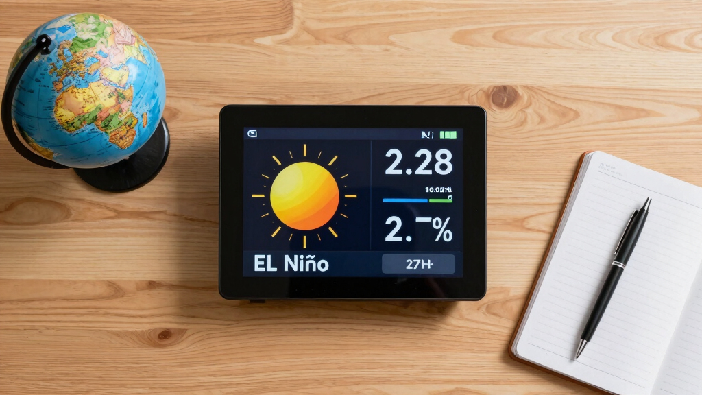
El Niño is intensifying faster than expected, according to meteorologists. This development could lead to significant weather disruptions globally, but precise impacts and timing are still being assessed.
Forecasters warn that El Niño is ‘strengthening rapidly,’ raising concerns about its potential to trigger extreme weather events worldwide. This development is confirmed by climate monitoring agencies and could have widespread impacts on weather patterns, agriculture, and disaster preparedness.
Recent climate models and reports from the National Oceanic and Atmospheric Administration (NOAA) indicate that the El Niño phenomenon is intensifying faster than usual. Experts say this rapid strengthening could lead to increased rainfall, flooding, droughts, and heatwaves across different regions. While the precise timing and severity of impacts are still being studied, authorities are urging communities to prepare for possible disruptions. The current phase began in late 2023 and has shown signs of accelerating, with ocean temperatures in the central and eastern Pacific reaching levels associated with strong El Niño events, according to NOAA’s latest updates.Scientists emphasize that El Niño, a climate pattern characterized by warmer-than-average sea surface temperatures in the equatorial Pacific, is a natural phenomenon that influences global weather. However, the rapid development this year is noteworthy and could amplify its effects. The World Meteorological Organization (WMO) has also issued preliminary statements indicating that the current conditions could lead to significant climate anomalies, but detailed forecasts for specific regions are still being refined.
Impacts of Rapid El Niño Development on Global Weather
The rapid strengthening of El Niño is significant because it can intensify extreme weather events, including heavy rains, flooding, droughts, and heatwaves. These conditions pose risks to agriculture, water resources, infrastructure, and public safety worldwide. Governments and disaster agencies are monitoring the situation closely, as early preparation can mitigate some of the adverse effects. The phenomenon’s influence on seasonal weather patterns underscores the importance of climate resilience and adaptive planning in vulnerable regions.
As an affiliate, we earn on qualifying purchases.
Recent Trends and Historical Comparisons of El Niño Events
El Niño typically develops gradually over several months, with its strength fluctuating annually. Historically, strong El Niño events have been linked to major weather anomalies, such as the 1997-1998 and 2015-2016 episodes, which caused widespread flooding, drought, and economic losses. The current acceleration is unusual; climate scientists note that ocean temperatures in the Pacific have already surpassed thresholds linked to intense El Niño phases. This pattern is consistent with recent global warming trends, which may influence the intensity and rapidity of such climate phenomena.
“The rapid intensification of El Niño this year is concerning because it suggests we may see more extreme weather events sooner than expected.”
— Dr. Emily Johnson, NOAA Climate Scientist
Uncertainties in Forecasting the Exact Impacts of the Current El Niño
While experts agree that El Niño is strengthening rapidly, the precise timing, regional impacts, and severity remain uncertain. Variability in ocean and atmospheric responses means that some regions may experience more intense effects than others, and the overall global impact is still being modeled. Additionally, the influence of other climate factors, such as La Niña or anthropogenic warming, complicates predictions.
Monitoring and Preparing for Potential Extreme Weather Events
Meteorological agencies will continue to monitor ocean temperatures, atmospheric patterns, and climate models to refine forecasts. Authorities in vulnerable regions are advised to prepare for possible flooding, drought, and heatwaves. The next few months will be critical in observing how the El Niño pattern evolves and its actual impacts on regional weather systems. Early warning systems and climate adaptation strategies will play key roles in mitigating risks.
Key Questions
What is El Niño and why does it matter?
El Niño is a climate pattern characterized by warmer-than-average sea surface temperatures in the central and eastern Pacific Ocean. It influences weather worldwide, often causing extreme events such as heavy rains, droughts, and heatwaves. Its strength and development can significantly impact agriculture, water resources, and disaster preparedness.
How quickly is El Niño strengthening this year?
According to recent reports from NOAA and climate scientists, El Niño is ‘strengthening rapidly,’ with ocean temperatures reaching levels associated with strong events earlier than usual.
What regions are most at risk from the current El Niño?
Regions most vulnerable include parts of North and South America, Southeast Asia, Australia, and Africa, where increased rainfall or drought could occur depending on local climate responses.
When will the full impacts of El Niño become clear?
It is still uncertain. The next few months will be critical in observing how the pattern evolves and which regions are most affected. Monitoring agencies will update forecasts as new data becomes available.
Can El Niño be predicted accurately?
Forecasting El Niño involves complex climate models, and while scientists can predict its development with some lead time, precise regional impacts and severity are often uncertain until closer to the event.
Source: google-trends
Halloween Picks
halloween
As an affiliate, we earn on qualifying purchases.